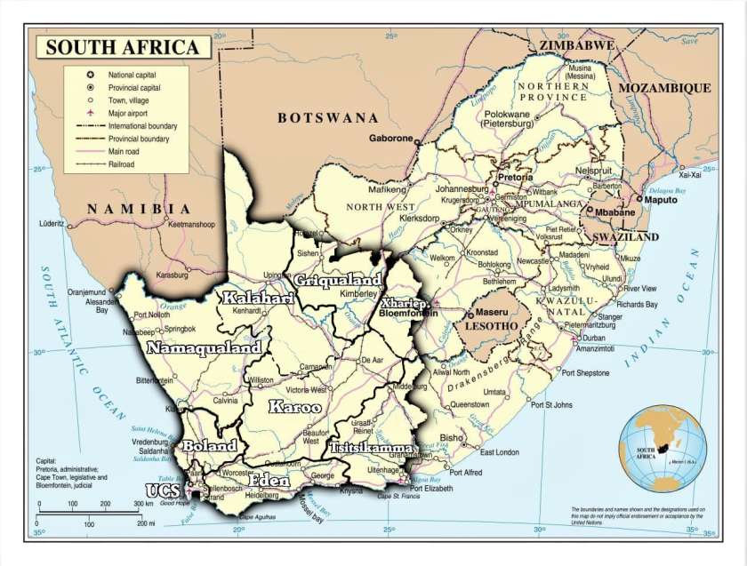
The United Cape States
The land area of the United Cape States (“The Cape” or “Capeland” for short) was determined according to where the Capelanders historically prove to have a distinct connection with the territory.
Read more about the significance of territorial connection in Chapter Seven of ‘The Cape’s Exit’ document.
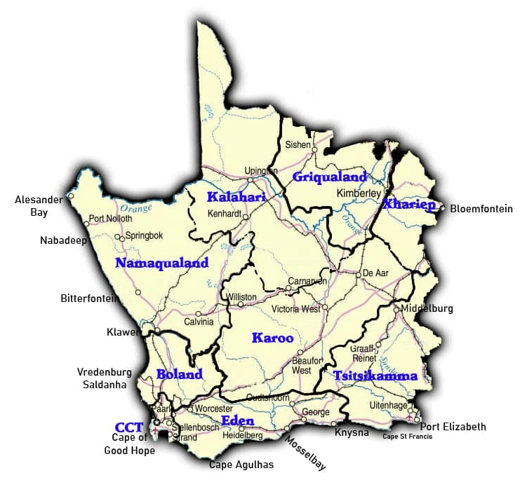
The UCS will consist of 9 Independently Governed States that will include the Cape Capitol Territory which will house the Central Government structures.
Cape Capitol Territory
Eden
Griqualand
Kalahari
Karoo
Namaqualand

Tsitsikamma
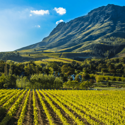
Boland